Preliminary Vegetation Assessment, Wingham
A large portion of my work takes me west of the Great Divide into western slopes grassy woodlands. When I was first asked to undertake a vegetation assessment of riparian vegetation in Wingham, my first thought was, bugger.....it will be rainforest. An ecosystem probably at polar ends to grassy ecosystems, florsitically and structurally.
Grassy woodlands are open dry ecosystems of relatively low rainfall areas (c.500-800mm per annum). The community is characterised by scattered eucalypt trees above a rich ground layer of grasses and forbs. Intact patches can have over a 100 species with 90 of those occurring in the ground layer. Contrastingly, rainforest has a dense closed canopy and occupies high rainfall areas (+1000mm per annum). The canopy and small tree layer contain the majority of the species richness.
For this job the client is exploring a possible realignment of an existing bridge that requires replacement. I was contracted to provide an assessment of biodiversity values that would inform a best option that causes the lowest impact. To do this one must start by identifying and classifying the vegetation.
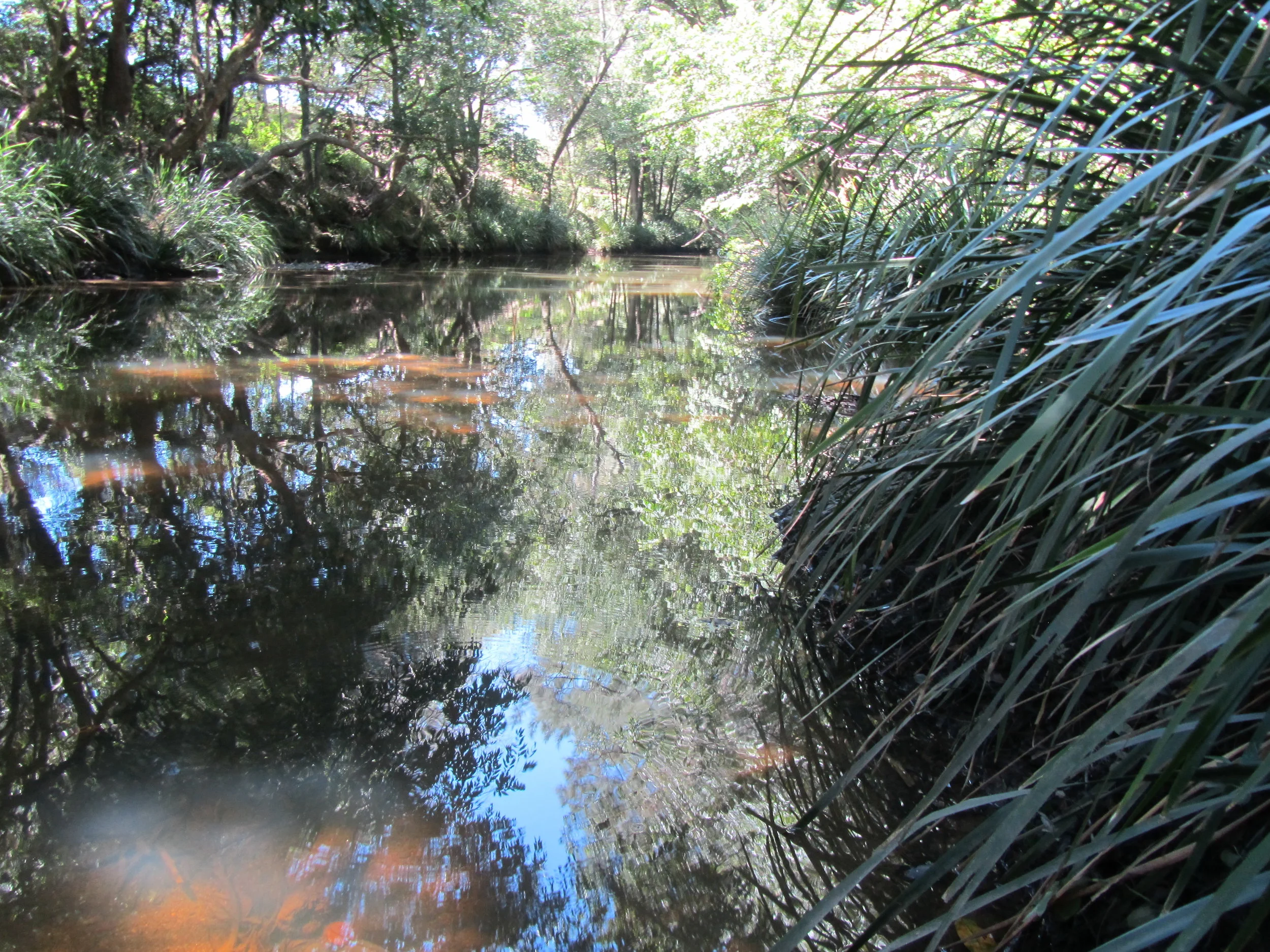
The study area covers 1-kilometre of degraded Lowland Rainforest EEC and weedy regrowth. Sampling involved random meanders to capture overall species assemblages and distribution. The distribution of degraded areas were mapped, as these may be more conducive to development. Important habitat features, such as hollow bearing trees were also recorded as features to avoid.
A technical report was prepared detailing the methods and results of field surveys, including detailed analysis of vegetation against State and National legislation. A vegetation map was prepared outlining the distribution and extent of vegetation communities. The map also identified degraded areas and the location of hollow bearing trees.
It is my hope that this work will guide a bridge alignment of least resistance.

