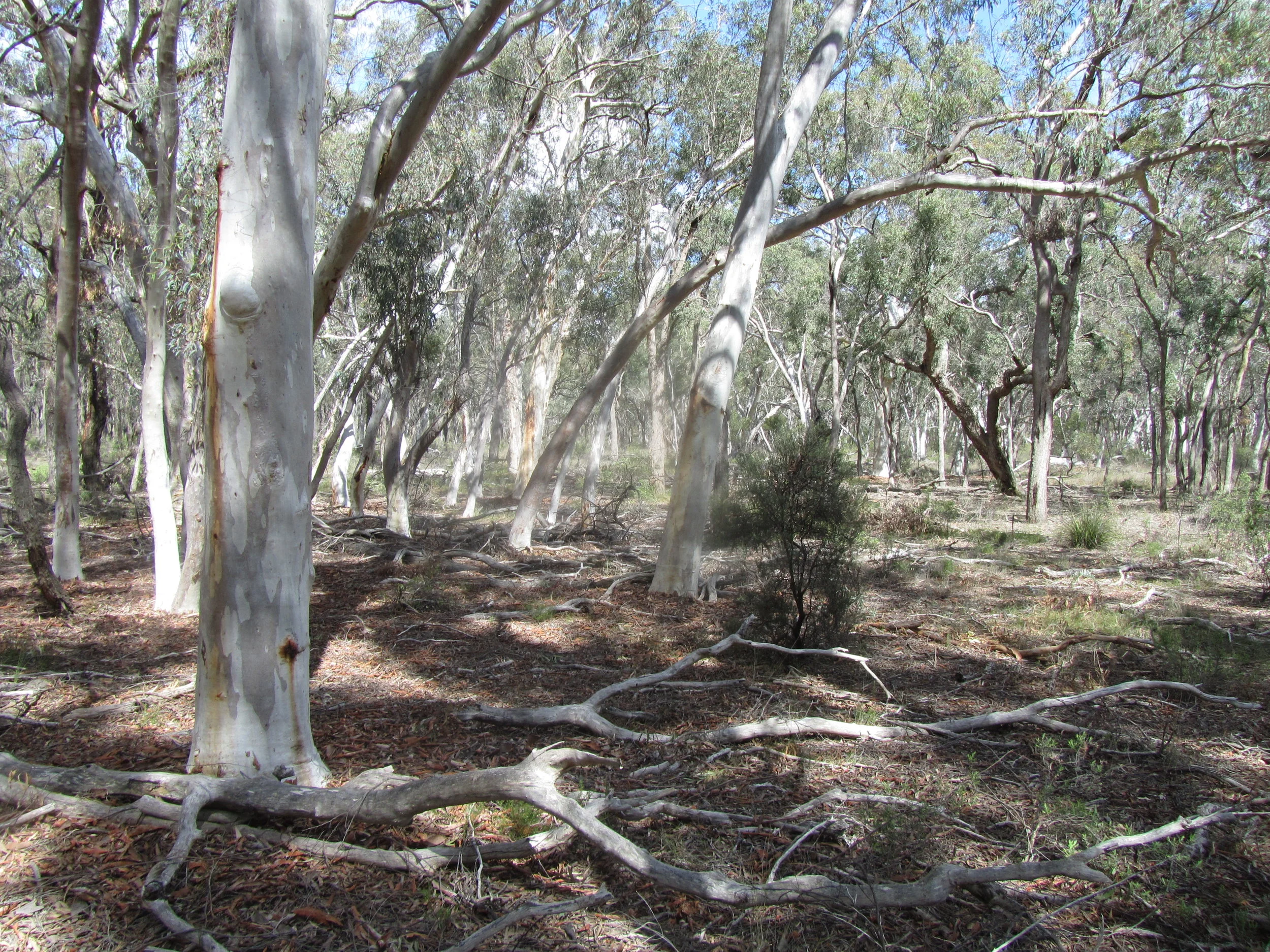
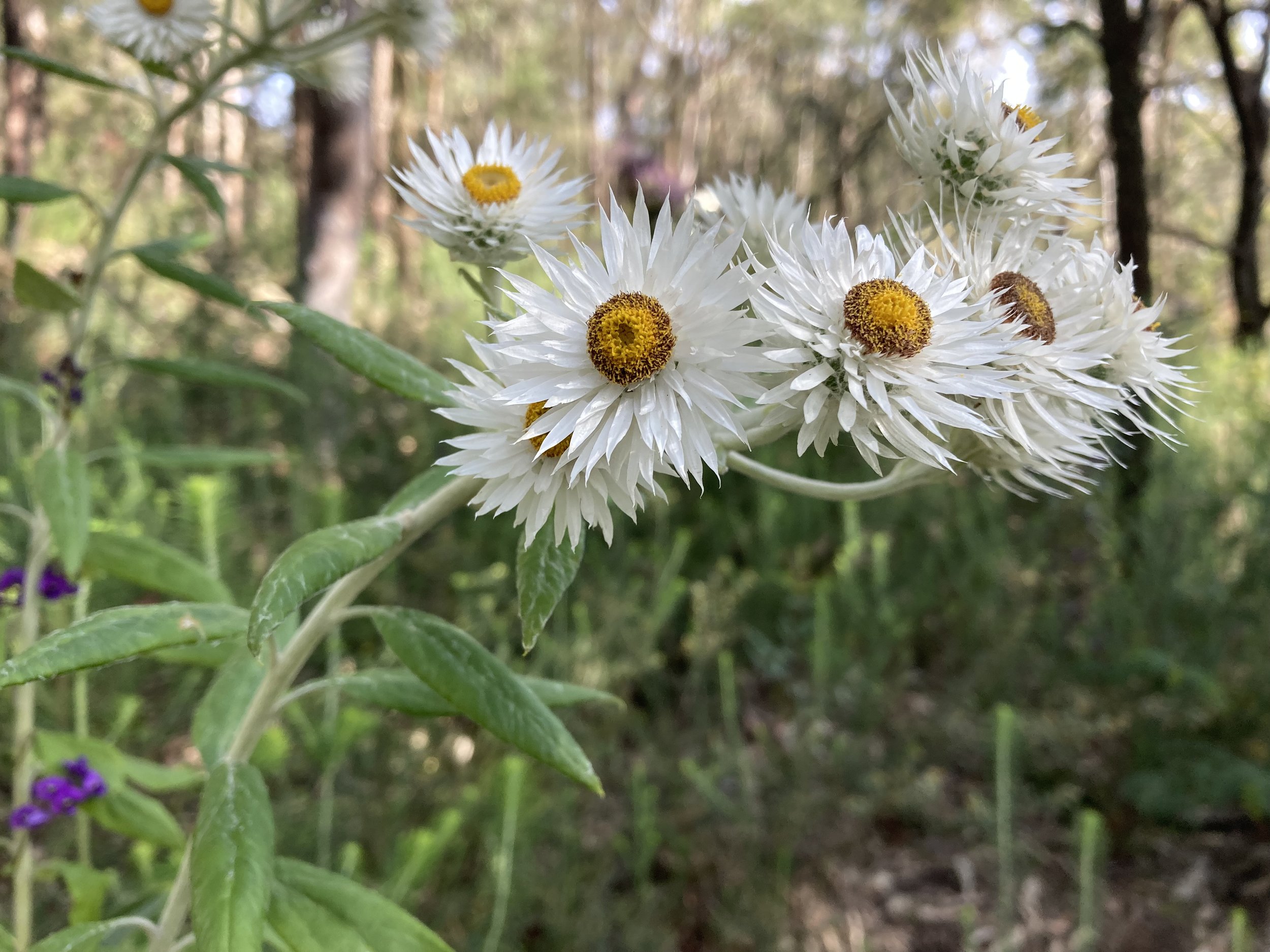
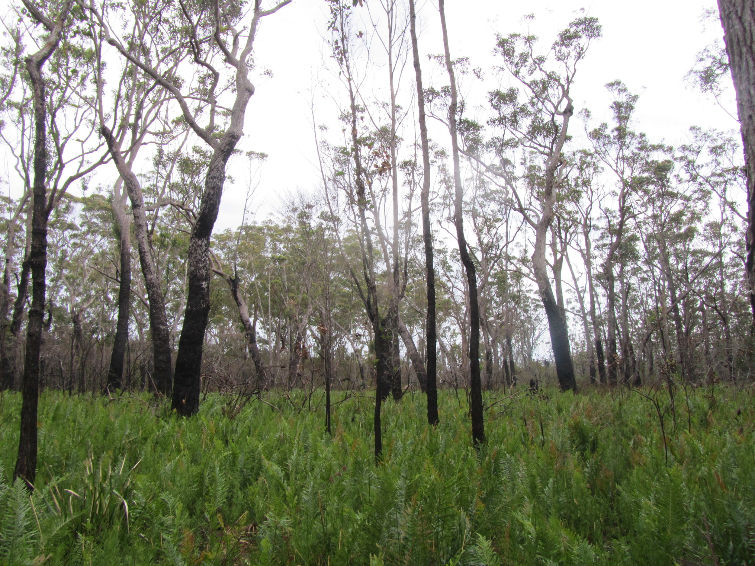
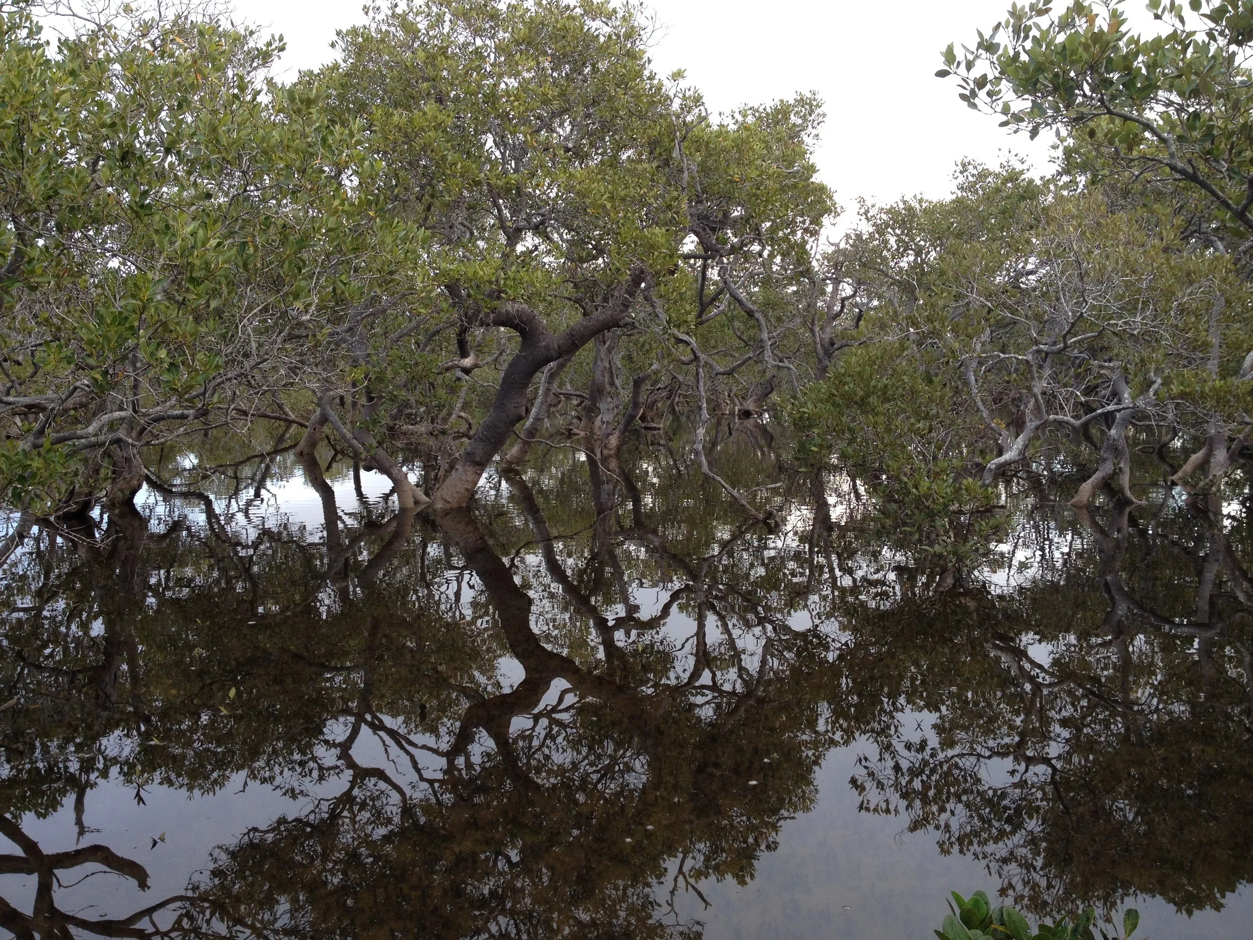
Flora and Vegetation Projects
Browse recent Key Botany projects with examples of Ryan Sims' experience in flora and vegetation surveys, vegetation mapping, vegetation classification.
Flora and Vegetation Projects
Browse recent Key Botany projects with examples of Ryan Sims' experience in flora and vegetation surveys, vegetation mapping, vegetation classification.
RECENT PROJECTS
Please browse through some examples of recent projects.

Genetic Sampling of Leionema lamprophyllum subsp. fractum
A genetic study investigating the relationship between Leionema lamprophyllum subspecies is being undertaken under the Saving our Species genetics program for Leionema lamprophyllum subsp. fractum. Key Botany was contracted to find, locate and sample populations of one subspecies Leionema lamprophyllum ssp. orbiculare in pagoda rock heath in the western blue mountains region.

Koolewong Flora Reserve
Eastcoast Flora Survey and Key Botany were contracted by NPWS to undertake detailed and accurate vegetation descriptions and mapping of several newly gazetted Flora Reserves and Conservation Areas.
Ten vegetation communities were delineated, described and mapped. Multivariate clustering and nMDS ordination techniques on 27 full floristic sample plots were undertaken in support of field observations.
A total of 342 taxa were recorded from Koolewong FR, including six threatened species (one proposed): the critically endangered Rhodamnia rubescens, the endangered Acacia bynoeana, Persoonia hirsuta subsp. ‘Yengo National Park’, Leucopogon fletcheri subsp. fletcheri, the vulnerable Tetratheca glandulosa, and proposed vulnerable Pultenaea renneri. Additionally, two rare trees, Eucalyptus prominula (2KC-) and Eucalyptus squamosa (uncoded), and the rare wattle Acacia kulnurensis (2RC) were found.

Kuluwan Flora Reserve
Eastcoast Flora Survey and Key Botany were contracted by NPWS to undertake detailed and accurate vegetation descriptions and mapping of several newly gazetted Flora Reserves and Conservation Areas.
Comprehensive field survey were undertaken across the 1610 ha Kuluwañ Flora Reserve, and ten vegetation communities were delineated, described and mapped. Multivariate clustering and nMDS ordination techniques on 36 sample plots and 373 plant taxa were undertaken in support of field observations.
In total, three-hundred and seventy-three (373) taxa were recorded from Kuluwañ FR, but only four of these were weeds. The critically endangered shrub Rhodamnia rubescens was recorded. Additionally, the rare ironbark Eucalyptus fergusonii subsp. fergusonii (3KC-), rare bottlebrush Callistemon shiressii (3RC-), and rare wattle Acacia kulnurensis (2RC) were all recorded.

Yango State Conservation Area
Eastcoast Flora Survey and Key Botany were contracted by NPWS to undertake detailed and accurate vegetation descriptions and mapping of several newly gazetted Flora Reserves and Conservation Areas.
Six vegetation communities were delineated, described and mapped for Yango SCA. Preliminary multivariate clustering and nMDS ordination techniques on nine full floristic sample plots was undertaken in support of field observations.
In total, two-hundred and twenty-three (223) taxa were recorded from Yango SCA. The critically endangered shrub Rhodamnia rubescens, the vulnerable Melaleuca groveana were recorded. Additionally, the rare trees Eucalyptus michaeliana (3RCa) and Eucalyptus fergusonii subsp. dorsiventralis (3RCa), small trees Callistemon shirressii (3RC-), Acacia matthewii (3RC-), and the rare shrub Gonocarpos longifolius (3RCa) were also observed in a few locations.
Corrabare North & South Flora Reserve
Eastcoast Flora Survey and Key Botany were contracted by NPWS to undertake detailed and accurate vegetation descriptions and mapping of several newly gazetted Flora Reserves.
Thirteen vegetation communities were delineated, described, and mapped for the Corrabare FR. Multivariate clustering and nMDS ordination techniques on 28 full floristic sample plots was undertaken for Corrabare North FR in support of field observations.
A total of 282 taxa were recorded from Corrabare FRs, including the critically endangered Rhodamnia rubescens, endangered Commersonia rosea, and vulnerable Melaleuca groveana. Rare trees noted include Eucalyptus fergusonii subsp. dorsiventralis, Eucalyptus hypostomatica, and Eucalyptus michaeliana.

Myall Lake National Park Vegetation Mapping
Myall Lakes National Park, located on the mid-north coast of New South Wales, Australia. The park covers a whooping 448 square kilometres and encompasses one of the state's largest coastal lake systems. This national park boasts a diverse landscape of swamp forest, coastal heathlands, dry and wet forests and rainforest.
Key Botany assisted Stephen Griffith and Bob Wilson to collect rapid vegetation data in gaps and improve the confidence of a fine scale vegetation map of the park.
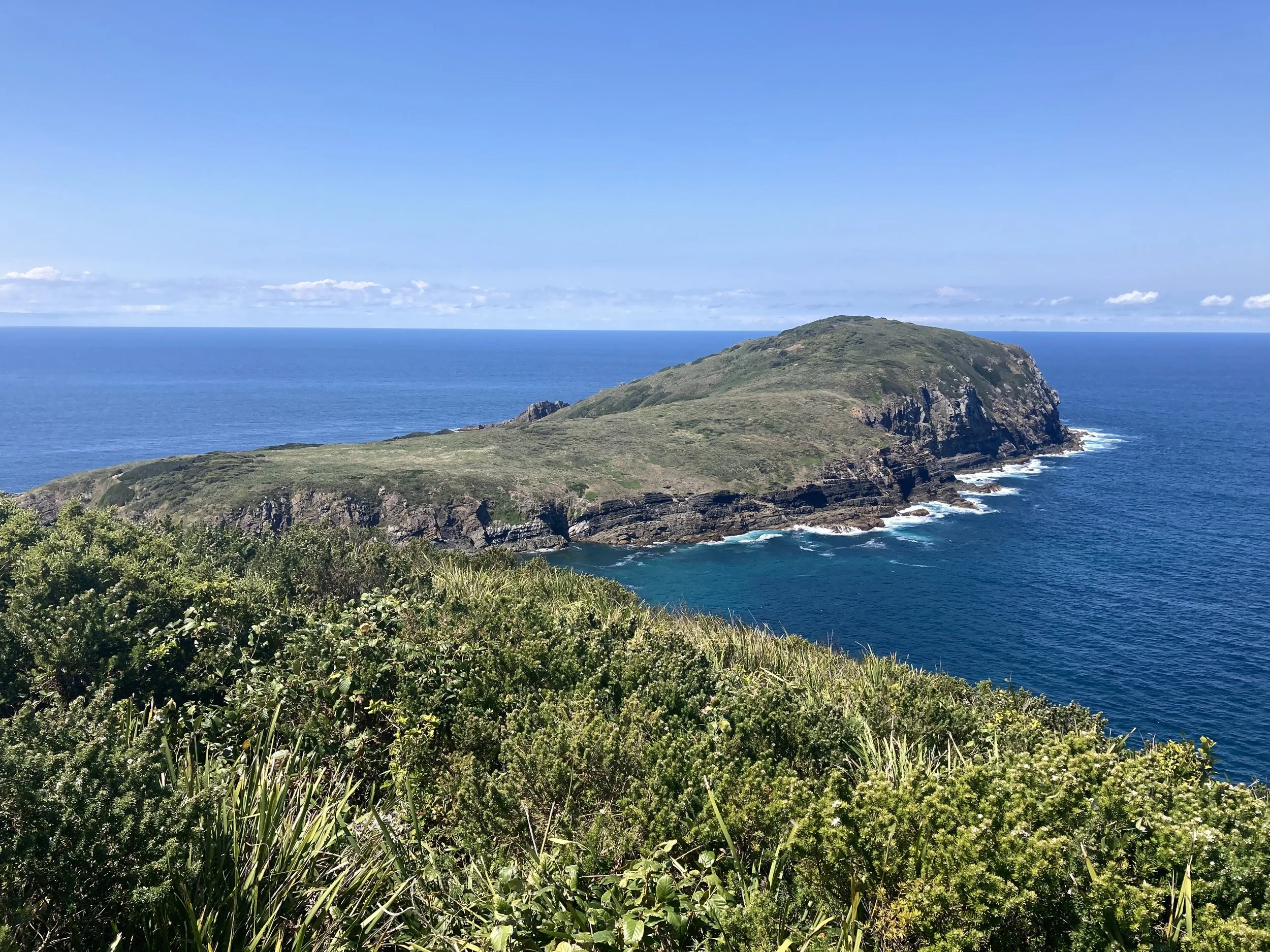
Broughton Island Vegetation Mapping (Myall Lakes National Park)
As part of the Myall Lakes National Park mapping project the vegetation occuring on Broughton Island was also mapped.

Astrotricha crassifolia - Thick-leaf Star-hair
Key Botany has been undertaking annual monitoring of the only known population of ‘pure’ Astrotricha crassifolia which occurs in Brisbane Water National Park under the SoS program. Six monitoring plots have been established in the park for the purposes of monitoring the long-term persistence of this species. Four additional monitoring plots were also established and surveyed in 2023 in some of the newly discovered patches. The effects of fire are also being explored through the use of hazard reduction burns and regular monitoring. A species distribution model was developed to guide future survey efforts.

Vegetation of Curricabark Valley
Key Botany was engaged by MidCoast Council to assist in the development of a fine-scale vegetation map of three large private land holdings located in the Curricabark valley, NSW. The project composed of a collaboration between a specialist air photo interpreter and field botanists to compile accurate vegetation mapping and descriptions of the study area. A total of 345 Rapid data points (1 point per 1.9 ha) were collected across the study area. Several rare and regionally significant flora species were detected.

Prostanthera junonis (Somersby Mintbush) SoS project
Under contract from the NSW Department of Planning and Environment, Key Botany has undertaken annual monitoring of known populations and targeted searches. The effects of fire are also being explored through the use of hazard reduction burns in long unburnt habitat.

Population Estimates of Allocasuarina defungens (Dwarf Heath Casuarina) and Allocasuarina simulans (Nabiac Casuarina)
NPWS and MidCoast Council secured Australian Government funding under the Environmental Restoration Trust to investigate the distribution, estimate population size and determine status of Allocasuarina defungens (Dwarf Heath Casuarina) and Allocasuarina simulans (Nabiac Casuarina). A total of 538 plots were randomly located within the known range of both species, including Crowdy Bay National Park, Nabiac sand barriers, Booti Booti National Park and Wallis Island Nature Reserve. A bootstrap analysis was completed on the data to estimate the population size at each site. Herbarium vouchers coupled with genetic material was collected from a population at Limeburner’s Creek National Park currently under examination.

Searches for the Tylophora woollsii (Cryptic Forest Twiner)
MidCoast Council and NPWS secured funding from the Commonwealth Government under Wildlife and Habitat Bushfire Recovery Program. The Cryptic Forest Twiner was listed as a priority plant requiring urgent management intervention. Unconfirmed records suggest that the species’ southern limit is high elevation forest north of Taree. This project aimed to investigate the distribution and status of Tylophora woollsii in the MidCoast region and attempt to understand the severity of impacts to the species associated with the 2019/2020 bushfire events. A habitat model was developed which identified areas of suitable habitat. These areas were searched over two years during flowering times.

Targeted Searches for Genoplesium littorale (Tuncurry Midge Orchid)
Key Botany under contract from NPWS has been undertaking targeted searches for the Tuncurry Midge Orchid, listed critically endangered. Surveys have been conducted over Autumn since 2021 around the Wallis Lake catchment. To date, 150-kilometres of sand barrier vegetation has been traversed, extending local ranges and discovering new habitat types. A third year of surveys is proposed for 2023.

EPBC Act Threatened Ecological Community alignment to PCT
Key Botany worked under contract with the National Department of Agriculture, Water and Environment (AWE), and in collaboration with NSW Department of Planning and Environment to align the National listings of Threatened Ecological Communities to the newly revised NSW Plant Community Types. Approximately 40 ecological community listings were analysed using species composition metrics generated from over 41,000 plots and statements outlined in each listing advice.

Myrtle Rust Impacts on recovering bushfire affected Melaleuca nodosa and Melaleuca quinquenervia
Key Botany has been contracted by DPIE under the Saving our Species program (SOS) to locate sites and monitor the affects of Myrtle Rust on susceptible species Melaleuca nodosa and Melaleuca quinqenervia in ecosystems recovering from the 2019/2020 bush fires.

Prostanthera askania (Tranquility Mintbush) Surveys
Key Botany teamed up with Focus Flora Surveys to undertake targeted searches and population estimates of Prostantera askania (Tranquility Mintbush) for Central Coast Council across 5 council reserves under the Saving Our Species (SOS) project.
A species distribution model was also developed to guide future survey efforts.
Annual monitoring is being undertaken to track the persistence of the species at known sites.

State-wide PCT Classification: Capertee Valley Flora Surveys
Key Botany was contracted by the NSW Department of Planning, Industry and Environment (DPIE) to undertake some full floristic sampling of the Capertee Valley, including Clandulla State Forest, Mugii Murum-ban State Conservation Area and Gardens of Stone National Park.
This work forms part of the east coast revision of plant community types. The surveys aimed to collect floristic data on place-holder plant community types in the region.
16 full florisitic plots were sampled in Ironbark - Scribbly Gum and Stringybark forests on Permian sediments. The threatened species Prostanthera stricta was also recorded during surveys.

State-wide PCT Classification: Myall Lakes NP, Bulahdelah SF, Tomaree NP and Booti Booti NP Surveys
Key Botany was contracted by the NSW Department of Planning, Industry and Environment (then OEH) to undertake full floristic sampling of Myall Lakes National Park, Bulahdelah State Forest, Tomaree National Park and Booti Booti National Park.
The work forms part of the state-wide plant community type classification east coast gap filling exercise. The surveys aimed to collect floristic data on poorly sampled plant community types in the lower north coast.
A total of 50 full florisitic plots were collected and used to further describe and classify a number of plant community types.

Vegetation of The Branch and North Arm Cove
Key Botany was commissioned by MidCoast Council to undertake a systematic vegetation survey and prepare a vegetation map of 3,300 hectares of native vegetation on the Lower North Coast.
A total of 622 rapid data points and 53 BAM Plots recorded over 400 plant taxa. Statistical analysis identified 15 fine scale vegetation communities, including TEC Lower Hunter Spotted Gum Ironbark Forest (LHSGIF), Subtropical Coastal Floodplain Forest, as well as threatened species Tetratheca juncea listed Vulnerable under the BC Act and EPBC Act, Callistemon linearifolius listed Vulnerable under the BC Act and Rhodamnia rubescens listed Critically Endangered under the BC Act. Diagnostic species for each vegetation community were developed.
The work also involved a preliminary Biodiversity Stewardship Site investigation.

Plant Community Type Mapping of Port Stephens Reserves
Port Stephens Council developed a bushland assessment tool (BAT) to quantify the biodiversity value of each Council owned reserve under their management.
Key Botany has been engaged by the Council to undertake assessments on 13 Council Reserves, including Stoney Ridge Reserve, Port Stephens Drive Reserve, Ganyaba Reserve and Mambo Wetland, totalling 214 hectares.
The work involves vegetation mapping, full-floristic plot based sampling and assignment to plant community types. So far, a new patch of Endangered Littoral Rainforest has been discovered suitable for inclusion under the Coastal Management SEPP, and new records of Persicaria elatior and Pultenaea maritima.

Wharf Road, The Branch Vegetation Assessment
Key Botany was commissioned by MidCoast Council to undertake a systematic vegetation survey and fine scale vegetation map of 90 hectares of dry sclerophyll forest, swamp forest and alluvial floodplain forest.
A total of 160 rapid data points and 20 full floristic plots were undertaken. Ten fine scale vegetation communities were classified using multivariate analysis. Diagnostic species for each vegetation community were developed. Four TECs were identified, including Swamp Sclerophyll Floodplain Forest, Swamp Oak Floodplain Forest, Saltmarsh and Subtropical Floodplain Forest, as well as threatened species Angophora inopina listed Vulnerable under the BC Act and EPBC Act, Tetratheca juncea listed Vulnerable under the BC Act and EPBC Act, and Callistemon linearifolius listed Vulnerable under the BC Act.
The work also involved a preliminary Biodiversity Stewardship Site investigation.

The Branch Lane Vegetation Mapping and Description
Key Botany and Eastcoast Flora Survey were commissioned by MidCoast Council (‘the Council’) to undertake a systematic vegetation survey and prepare a vegetation map.
A total of 92 rapid data points and 9 full floristic plots identified 7 fine scale vegetation communities, including TEC Lower Hunter Spotted Gum Ironbark Forest (LHSGIF), as well as threatened species Tetratheca juncea listed Vulnerable under the BC Act and EPBC Act, and Callistemon linearifolius listed Vulnerable under the BC Act.

State-wide PCT Classification: Manning Valley Vegetation Surveys, Lower North Coast
Key Botany was contracted by the NSW Office of Environment and Heritage (OEH) to undertake full floristic sampling of the Manning Valley.
The work forms part of the state-wide plant community type classification east coast gap filling exercise. This survey aimed to collect data on poorly sampled and heavily cleared coastal grassy woodland and valley ecosystems in the Manning Valley.
Key Botany was tasked with finding appropriate sites, planning and co-ordinating 3 weeks of surveys, undertaking 41 full floristic field sampling, plant identification and data entry into the VIS. This work identified and described several poorly known and under sampled plant communities types in this valley system.

Vegetation of Nine Mile Beach, Tuncurry
Mid Coast Council engaged Key Botany to undertake a systematic vegetation survey of Nine Mile Beach, Tuncurry. The vegetation included 120 hectares of dunal scrub, maritime grasslands, coastal heath, aeolian sand forest and littoral rainforest EEC. One threatened species was detected, Syzygium paniculatum (Magenta Lilly Pilly).
Field sampling involved 16 full floristic quadrats, rapid assessments and random meanders.
A technical report was prepared detailing the methods and results of field surveys.

Vegetation Survey of the Macquarie Marshes, North Western Plains
The NSW Office of Environment and Heritage (OEH) engaged Key Botany to undertake botanical surveys of the Macquarie Marshes (a.k.a. the Marshes) as part of the Murray-Darling Basin Environmental Water Knowledge and Research (EWKR) project.
The NSW government increased environmental flows into the Marshes. The project aims to understand how flow regime influences vegetation diversity and recruitment outcomes at different spatial and temporal scales.
Two rounds of sampling were completed in Autumn 2017 and 2018.
Key Botany is assisting with germination trials, data wrangling and multivariate analysis.
Vegetation Mapping Project, Bulahdelah
Key Botany was engaged by Mid Coast Council to undertake a vegetation assessment of 420-hectares of aeolian sand forests and swamp forest EEC.
Flora surveys involved the completion of 20 full floristic quadrats supplemented with rapid assessments and random meanders. Hierarchical classification was run on plot data to classify vegetation types and diagnostic species were compiled to describe vegetation communities.
A technical report was prepared detailing methods and results.
Vegetation of Corrie Island, Port Stephens
Key Botany was engaged by Mid Coast Council and National Parks and Wildlife Service (NPWS) to undertake a vegetation assessment of Corrie Island, Port Stephens. The island is covered in 180-hectares of saltmarsh EEC, floodplain forest, coastal scrub and marine grasslands.
Flora surveys involved 20 full floristic quadrats including Biobanking Assessment Methodology (BAM), vegetation mapping and classification and weed mapping of nine priority weed species. Biobanking plot data was collected to inform condition mapping of the island.
A technical report was prepared detailing methods, results and recommendations for future conservation.

'What's on my patch?' - a funding initiative of Central West LLS
A funding initiative with Central West Local Land Service to promote awareness of biodiversity in agricultural landscapes.The project involved flora and fauna surveys of 14 rural properties throughout the central west of NSW.
Random meander sampling was undertaken over 1 month and covered a myriad of vegetation types and habitats, including box gum woodland EEC, ironbark forests on narrabeen sandstone ridges, river red gum woodlands, weeping myall woodland EEC and other grassy box woodlands. Species lists and vegetation community descriptions were compiled into a flora and fauna report of each property.