Vegetation Survey of the Macquarie Marshes

Photo: Annually flooded non-woody wetland (Typha - Phragmites Reedland)
I was fortunate enough to be asked by the Office of Environment and Heritage (OEH) to undertake botanical surveys of the Macquarie Marshes (a.k.a. the Marshes). I've often heard from a few people that the Marshes are a 'must-see' - it's one of the largest remaining inland semi-permanent wetlands in south-eastern Australia. So, when I was approached, I was rather excited.
Just for some background, the work I was involved in is part of the Murray-Darling Basin Environmental Water Knowledge and Research (EWKR) project. A 5-year project to improve the science available to support environmental water management. The NSW government has increased the volume of water being released into the Marshes. We are interested in flow regimes influence vegetation diversity and recruitment outcomes at different spatial and temporal scales.

Photo: Lignum shrubland with an approaching storm
Down to the nitty-gritty, for those who are interested in the methods. Eleven stratification units were mapped across the study area using remote sensing of flood frequency. Might I add, Rachael Thomas' flood mapping proved to be spot on time after time. Five full-floristic plots were positioned in each of the 11 stratification units to capture natural variation within each unit. This totalled 55 plots. All vascular plants recorded within a 20 x 20m quadrat were given an estimation of cover (to the nearest percent) and abundance. Other data collection methods included: point intercept totalling 55 points, tree recruitment counts, soil seed bank samples, condition of lignum and a hemispherical lens camera to measure plant area index (PAI).
I look forward to doing it all again in Spring.
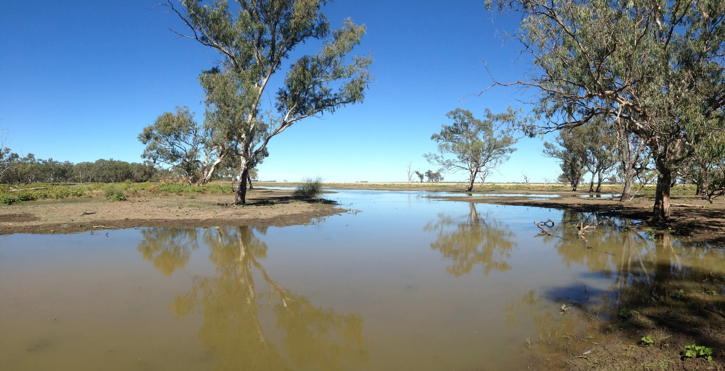
Photo: Inland floodplain woodland (River Red Gum Woodland)

Photo: Inland floodplain woodland (Coolabah grassy woodland)

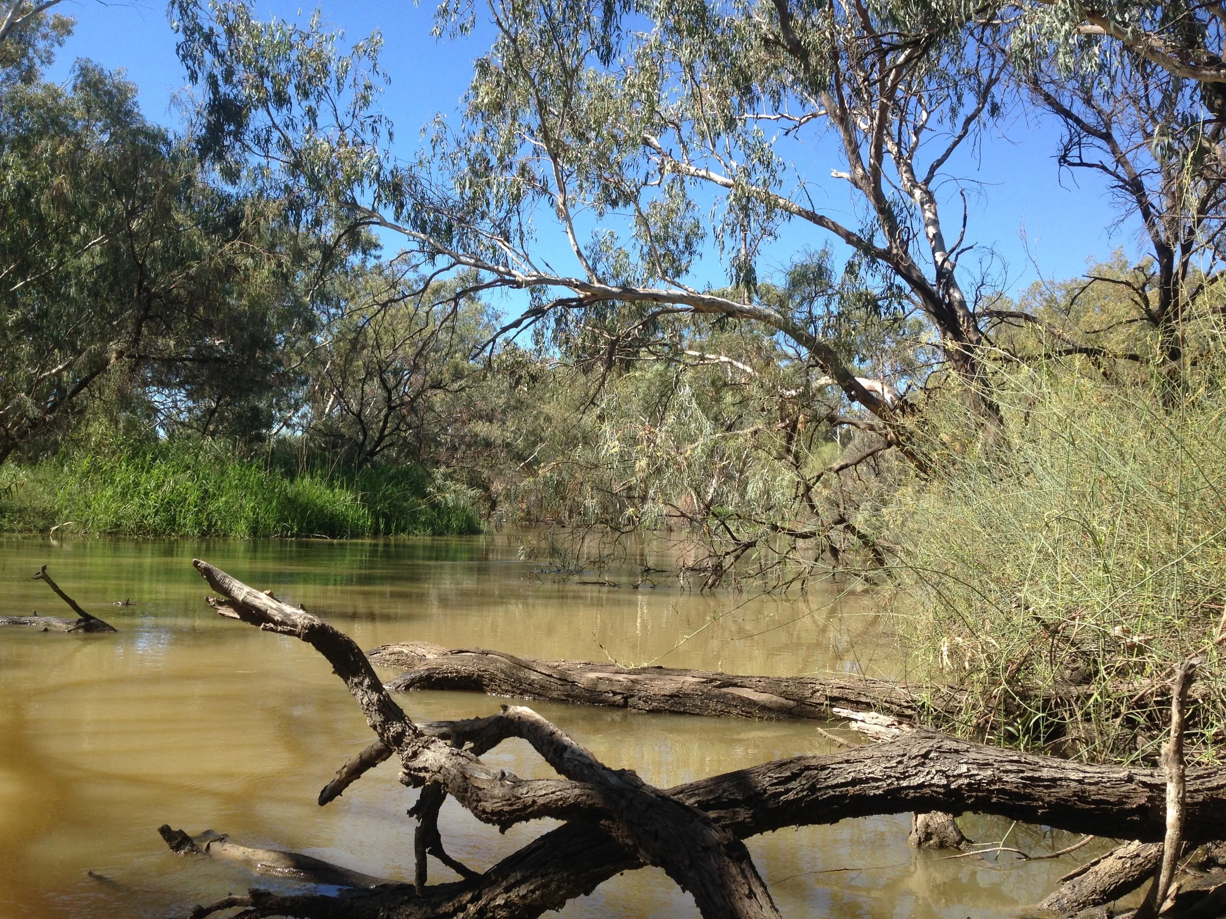
Photo: Annually flooded inland floodplain woodland (River Red Gum Woodland)